Students rely on clear, durable maps to study geography, track world events, and plan travel or history projects. Below is a curated selection of desk and wall maps designed to fit a student’s workspace, classroom, or dorm desk. Each product blends educational detail with durability, making it easier to reference continents, countries, capitals, and time zones during studies. The list prioritizes usability, readability, and value across multiple learning stages.
| Product | Brand | Format | Key Benefit |
|---|---|---|---|
| Lighthouse Geographics US & World Desk Map | Lighthouse Geographics | Two-sided laminated map | US map side with state capitals; world map side for global context |
| 2-Sided Desk Map With Durable Lamination | NewSpaceView | Two maps in one (US-centered world map + US map) | US-centered perspective for easier regional understanding |
| Laminated World Map & US Map Poster Set | Palace Learning | 2 posters laminated | Durable wall/desk references for world and US details |
| Lighthouse Geographics USA Map For Kids | Lighthouse Geographics | Laminated wall/desk map | Kid-friendly USA with capitals and clear inserts |
| Rand McNally World Wall Map – Laminated | Rand McNally | Laminated wall map | Classic world map with durability for frequent reference |
Lighthouse Geographics US And World Desk Map
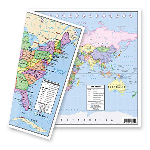
This two-sided laminated map offers a versatile reference for students. One side presents a political map of the United States with all state capitals marked by red stars and labeled cities, while the reverse side reveals a detailed world map. The Europe insert provides a zoomed-in view for clearer European geography, making it a strong choice for classroom or dorm desk use. The lamination adds durability for daily study sessions and handwriting practice.
2-Sided Desk Map With Durable Lamination

This set offers two maps in one: a US-centered world map on one side and a traditional US map on the other. The US-centered world map emphasizes shortest routes from the US to global destinations, aiding geography teaching about cross-continental connections. The design highlights regional dynamics, including the Asia-Pacific region’s significance to global trade and population, helping students grasp international relations and geography in context. Laminated durability supports repeated use in study spaces.
Laminated World Map & US Map Poster Set

This pair of large laminated posters provides a broad view of the world and the United States in a durable format. Measuring 18″ by 29″, these posters are designed for classroom or study room walls and desks. The laminated finish enhances longevity, reducing wear from everyday use, notes, and occasional spills. They are suitable for learners who benefit from frequent reference to maps during lessons, homework, and projects.
World Map Mouse Pad Large 35×15.7
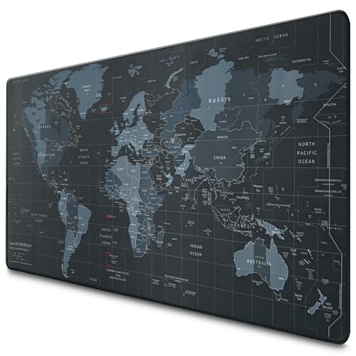
While primarily a mouse pad, this world map surface doubles as a frequent visual reference for geography while students work. The large 35 by 15.7 inch size gives ample room for keyboard and mouse, with a smooth, water-resistant coating that resists spills and staining. The rubber base helps prevent slipping, enabling accurate cursor control during online research or digital map activities. It blends classroom utility with a thematic map motif for desks and study areas.
Lighthouse Geographics USA Map For Kids

This kid-friendly USA map focuses on clarity and readability, with clear inserts for Hawaii and Alaska and pastel tones. It presents up-to-date geographical information and emphasizes state names and capitals, making it a practical reference for younger students who are building foundational geography knowledge. Durable lamination protects the map against classroom wear, ensuring long-term use in study corners and classrooms.
Rand McNally Signature Edition World Map

The Rand McNally World Wall Map is a classic reference for many years of geographic study. This laminated world map is designed for classroom walls and study areas, offering a broad view of continents, countries, and major geographic features. Laminated durability supports frequent handling and ready use in projects, presentations, and independent study. It serves as a dependable staple for students seeking a comprehensive world perspective.
Buying Guide: Key Purchase Considerations
- Map format and coverage: Decide between US-centered world maps, two-sided laminations, or separate US and world posters to match your study needs and space constraints.
- Durability and finish: Lamination or high-quality coatings protect maps from wear and spills, making them suitable for ongoing classroom use and desk setup.
- Scale and detail: Look for clear labeling of capitals, major cities, time zones, and political boundaries. Europe inserts or zoomed regions can help with focused lessons.
- Size and placement: Wall posters suit larger spaces; desk maps and mouse pads work best for compact desks, dorm rooms, or learning nooks.
- Kid-friendliness and accessibility: For younger learners, maps with clear fonts, pastel or bright colors, and capital marks improve readability and engagement.
- Integrated teaching value: Some sets emphasize US-centered world views or emphasize geography relationships across regions to aid comprehension of international trade and movement.
- Maintenance and care: Reusable lamination supports frequent markings or notes with dry-erase markers, but ensure compatibility with your preferred writing tools.
- Budget and availability: Compare durability, potential bundles, and how easily replacements are available for future editions or updates.